Explore all blogs
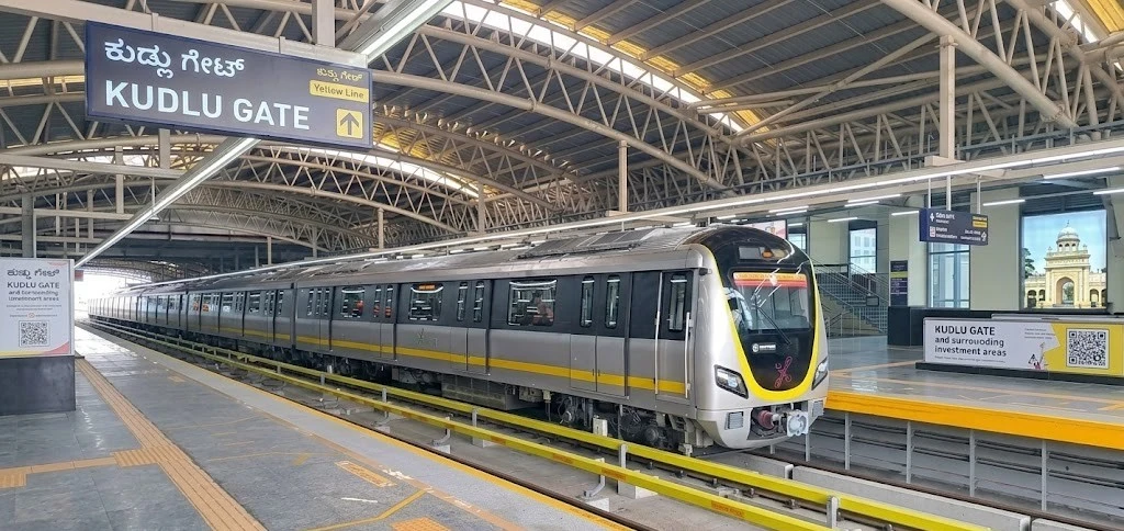
Kudlu Gate Metro Station Bangalore: Maps, Fares, Routes & Nearby Investment Areas in 2026
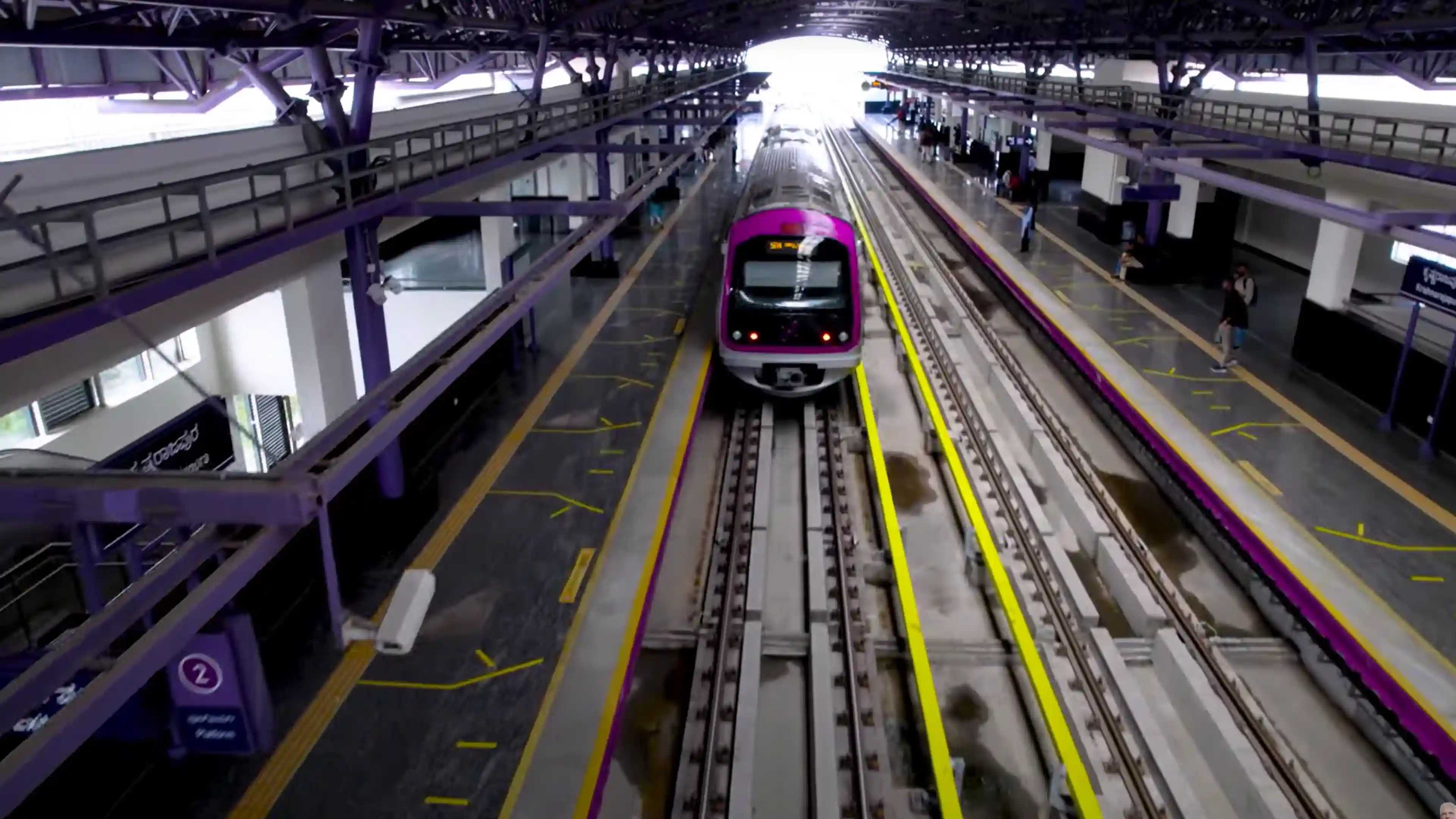
Kudlu Gate Metro Station - Quick Info Located between the Hongasandra and Singasandra Metro Stations, Kudlu Gate is an important stop on the North-South Corridor of the Yellow line of the
Written by Suju
Published on
Nallurhalli Metro Station: Map, Parking, Station Lists and Nearby Residential Areas to Live in 2026
Nallurhalli Metro Station - Quick Info The Nallurhalli metro station is meticulously designed to handle the high volume of daily commuters in the KIADB industrial area. Below is a detailed s
Written by Krishnanunni H M
Published on
Konappana Agrahara Metro Station: Map, Station Lists and Nearby Localities to Live in 2026
Konappana Agrahara Metro Station - Quick Info The Konappana Agrahara Metro Station is designed to serve the high-density traffic in Electronic City. It provides a reliable, fast mode of transport,
Written by Krishnanunni H M
Published on
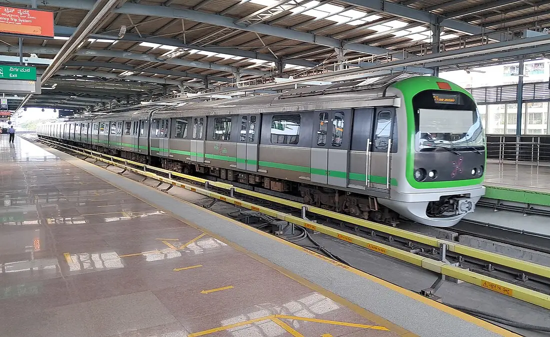
Goraguntepalya Metro Station: Timings, Routes, Map and Nearby Areas to Live in 2026
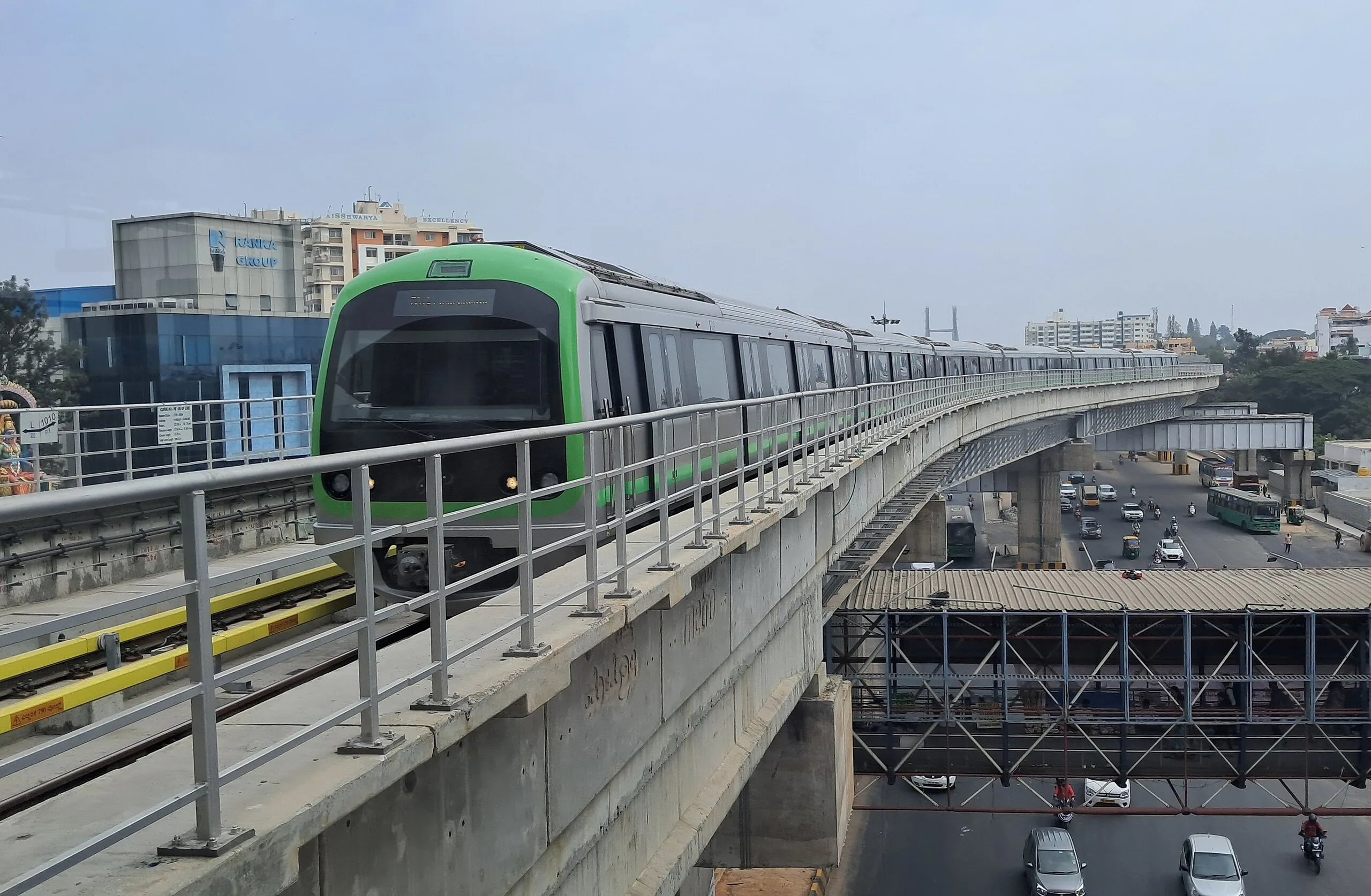
Situated along Tumkur Road, the Goraguntepalya metro station is an important stop on the Green Line of Namma Metro, supporting smooth travel across North Bengaluru. Operational since March 1, 2014, this elevated station mainly serves the Yeshwanthpur industrial belt and nearby residential
Written by Krishnanunni H M
Published on
Attiguppe Metro Station Bangalore: Map, Routes, Stations and Nearby Areas to Live in 2026
The Attiguppe metro station is a prominent elevated station located on the Purple Line of the Namma Metro network in Bengaluru. Situated on the busy Chord Road in the Govindaraja Nagar Ward, this station has been fully operational since November 16, 2015. It serves as a daily transit poin
Written by Krishnanunni H M
Published on
Dasarahalli Metro Station Bangalore: Map, Station Lists and Nearby Localities to Live in 2026
Located along the busy Tumkur Road stretch, the Dasarahalli metro station plays a key role in easing daily travel for North-West Bengaluru residents. Positioned on the Green Line of Namma Metro, it has been operational since 2015 and connects industrial, residential, and commercial pocket
Written by Krishnanunni H M
Published on
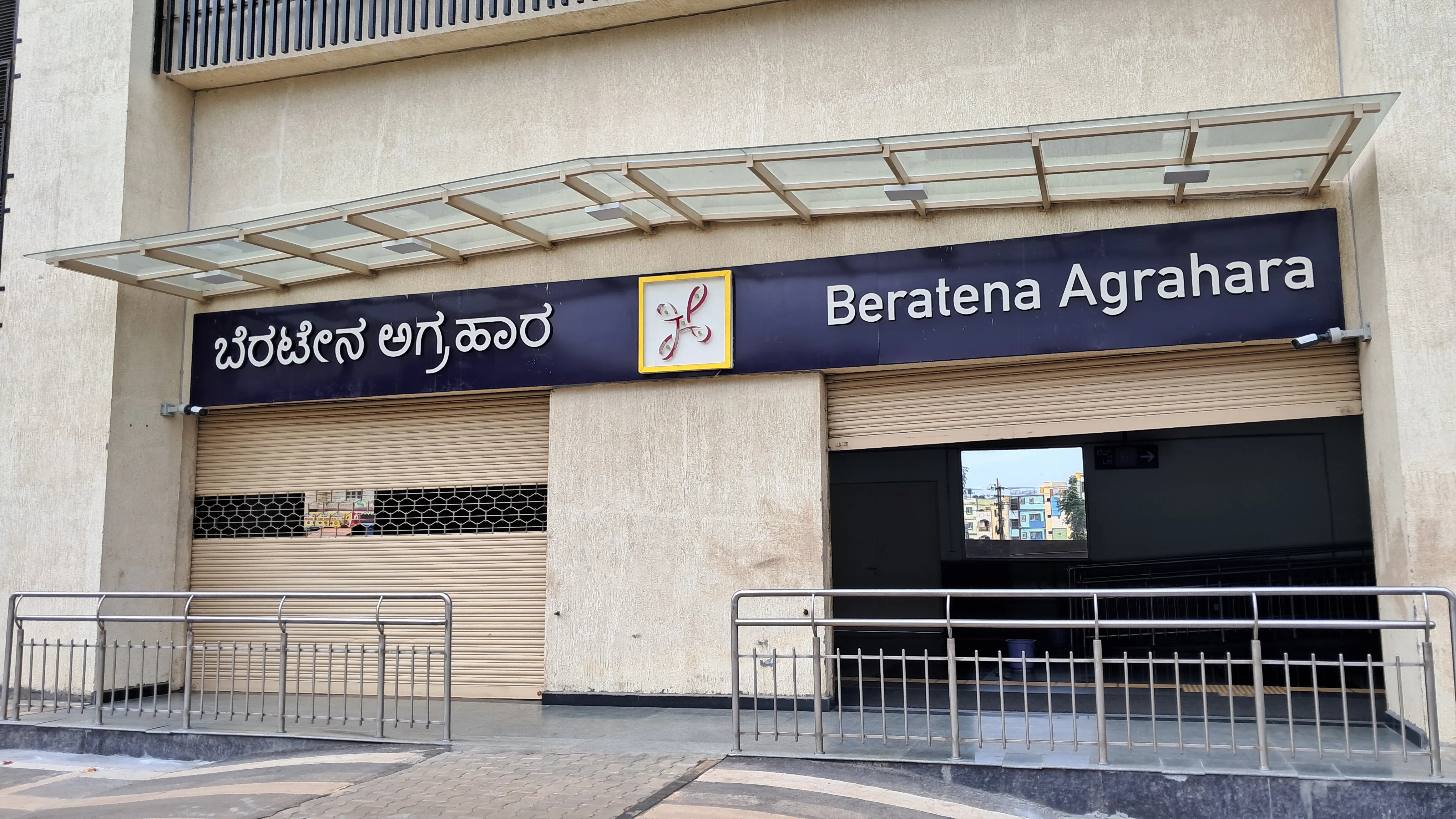
Beratena Agrahara Metro Station Bangalore: Maps, Fares, Timings and Nearby Localities to Live
The Beratena Agrahara Metro Station is an elevated stop on the Namma Metro Yellow Line, designed to streamline travel between the Hosur Road residential belt and Bengaluru’s major employment corridors. Opened in August 2025, the station has two side platforms, serving northbound trains to
Written by Krishnanunni H M
Published on
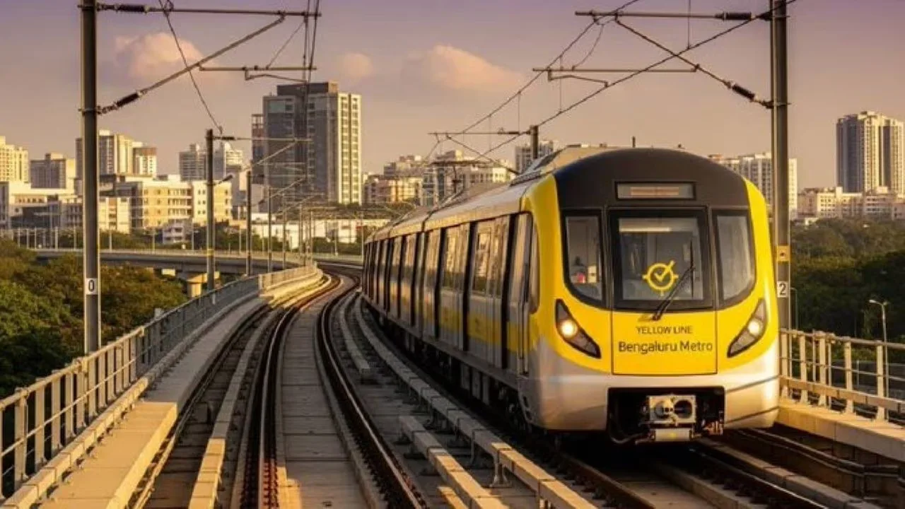
Pink Line Metro Bangalore: Routes, Maps, Timing and Nearby Residential Areas to Live in 2026
The Pink Line Metro in Bangalore is an under-construction corridor that will soon connect southern and northern Bengaluru through a 21.25-kilometre stretch. Running from Kalena Agrahara on Bannerghatta Road to Nagawara on Outer Ring Road, the line combines underground, elevated, and surfa
Written by Krishnanunni H M
Published on